top of page
Search

How MapInfo Pro Leverages AI for Smarter Geospatial Analysis.
MapInfo Pro lacks inherent AI features, but it can utilize AI via different integrations, plugins, and scripting. Here's how AI can be...
Howard Krinitzsky
Feb 82 min read
54 views
0 comments


Exploring the Best Object Detection and Segmentation Techniques in AI
Computer vision offers various techniques for object detection and segmentation in images. These techniques leverage traditional...
utkalsharma
Feb 24 min read
54 views
0 comments


From Blurry to Sharp: AI-Based Satellite Image Resolution Enhancement
Below are the OpenCV DNN AI models for super-resolution that can be utilized to improve the resolution of your satellite images,...
utkalsharma
Jan 302 min read
125 views
0 comments

Demystifying Geospatial Data Analysis
In the current data-centric era, visualizing spatial information is crucial for informed decision-making. Geospatial data analysis...
utkalsharma
Jan 223 min read
572 views
1 comment


Image Classification vs Object Detection vs Image Segmentation
In computer vision, image classification , object detection , and image segmentation are three fundamental tasks, each serving a...
utkalsharma
Jan 202 min read
365 views
1 comment

GeoAI: Machine Learning and Deep Learning with GIS
GeoAI, which stands for Geospatial Artificial Intelligence, combines AI methods and technologies with geospatial information and...
GeoWGS84
Jan 72 min read
237 views
1 comment

Object Detection with Deep Learning or Machine Learning
Object detection is a computer vision task that involves identifying and locating objects within an image or video. It combines image...
utkalsharma
Jan 62 min read
194 views
0 comments


Difference between Object Detection and Pixel Classification
In GIS, object detection and pixel classification are two distinct methods for analyzing spatial data, particularly in the context of...
utkalsharma
Dec 20, 20242 min read
195 views
0 comments


Labeling or Annotating Geospatial Data for AI Deep Learning
Labeling geospatial data for deep learning involves creating annotated datasets that can be used to train models for tasks like object...
utkalsharma
Dec 12, 20242 min read
494 views
0 comments


Aerial Powerline Drone Inspection: It's about time for electric utility companies to embrace this.
Electric utilities are grappling with the aftermath of the Hawaiian fire, as they now confront the potential of incurring billions in...
Howard Krinitzsky
Oct 18, 20233 min read
1,293 views
0 comments


Machine Learning for Geospatial Data
Deep learning or Machine learning has become a popular approach for analyzing geospatial data due to its ability to learn complex...
utkalsharma
Feb 21, 20233 min read
545 views
0 comments


What is a Digital Twin in Infrastructure?
A digital twin is a virtual representation of a physical object or system, used for monitoring and simulation purposes. It is created by...
utkalsharma
Feb 7, 20233 min read
45 views
0 comments


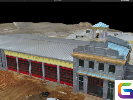
Drone Construction Progress Monitoring
Building construction monitoring is critical to ensuring that a project is completed on time, within budget, and to the required quality...
utkalsharma
Jan 27, 20233 min read
341 views
0 comments
GeoWGS84 Blog
bottom of page
